Drop a pin. Watch the boundary snap closed.
GeoTerra measures land area, boundaries, distance and routes straight from your phone or browser built for the mud, the signal gap and the person standing in the field.




Trusted by surveyors, farmers & spatial teams worldwide
Why Professionals Choose GeoTerra Over Guesswork
Engineered specifically for agricultural parcel boundaries, civil construction grading, and survey land-records with zero latency and complete offline autonomy.
Millimeter polygon accuracy, even on curved terrain.
Traditional web map tools calculate simple flat Euclidean planar formulas, introducing up to 15% error over large parcels. GeoTerra runs geodesic geodesy accounting for earth curvature, elevation contouring, and magnetic declination.
Precision Geodesy
±0.01 m² Karney Math
Curved ellipsoidal projection
CAD & GIS Exports
DXF, KML, GeoJSON
1-click legal boundary files
Everything You Need for Fieldwork
A comprehensive toolbox organized across 6 core categories, engineered to replace bulky handheld hardware with instant browser-based power.
Area & Measurement Tools (8 Tools)
Measure field boundaries, land acreage, turf surface areas, circle pivots, and irregular polygon plots with millimeter geodesic precision.
GPS & Coordinates (9 Tools)
Convert, reproject, and format global coordinates across Lat/Long, UTM, MGRS, and DMS with sub-decimeter geodetic datum transformations.
GIS / File Conversion (10 Tools)
Lossless two-way geospatial data conversion between Google Earth KML/KMZ, ESRI Shapefiles (.shp), GeoJSON vectors, CSV points, and GPX logs.
Compass & Speedometer
Track direction, speed, and real-time GPS location while travelling or working in the field with true-north magnetic declination correction.
Need specialized calculations? Explore our library of 48+ geospatial calculators & format converters →
Built for every kind of Field work
From measuring land to planning routes, GeoTerra gives you practical GPS tools for work, travel, and everyday projects.
Agriculture
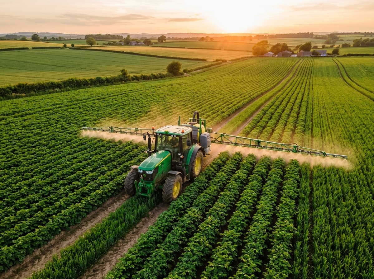
Measure fields, calculate acreage, plan irrigation, and manage farmland more efficiently.
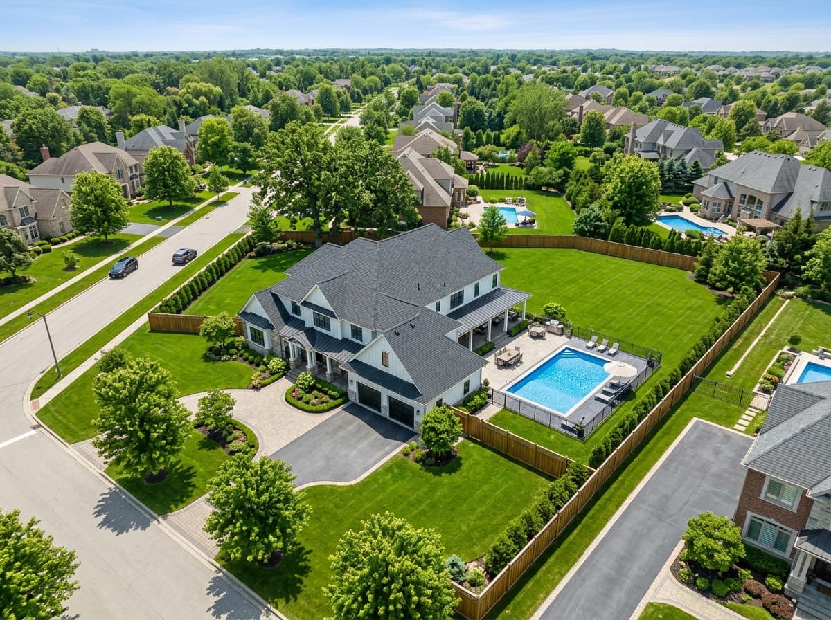
Real Estate
Map property boundaries, measure plots, plan site visits, and capture location-based photos.
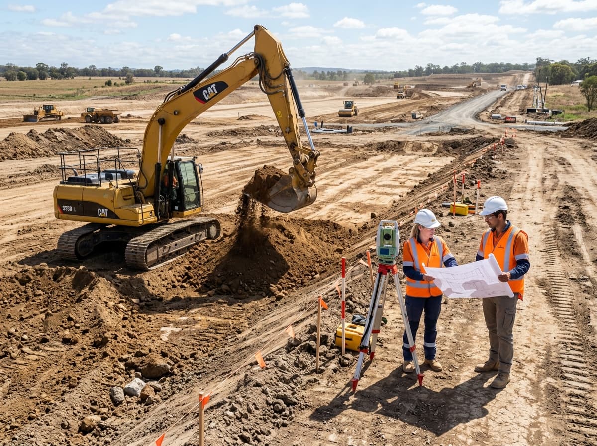
Construction
Measure sites, plan layouts, check distances, and keep track of work across the project area.
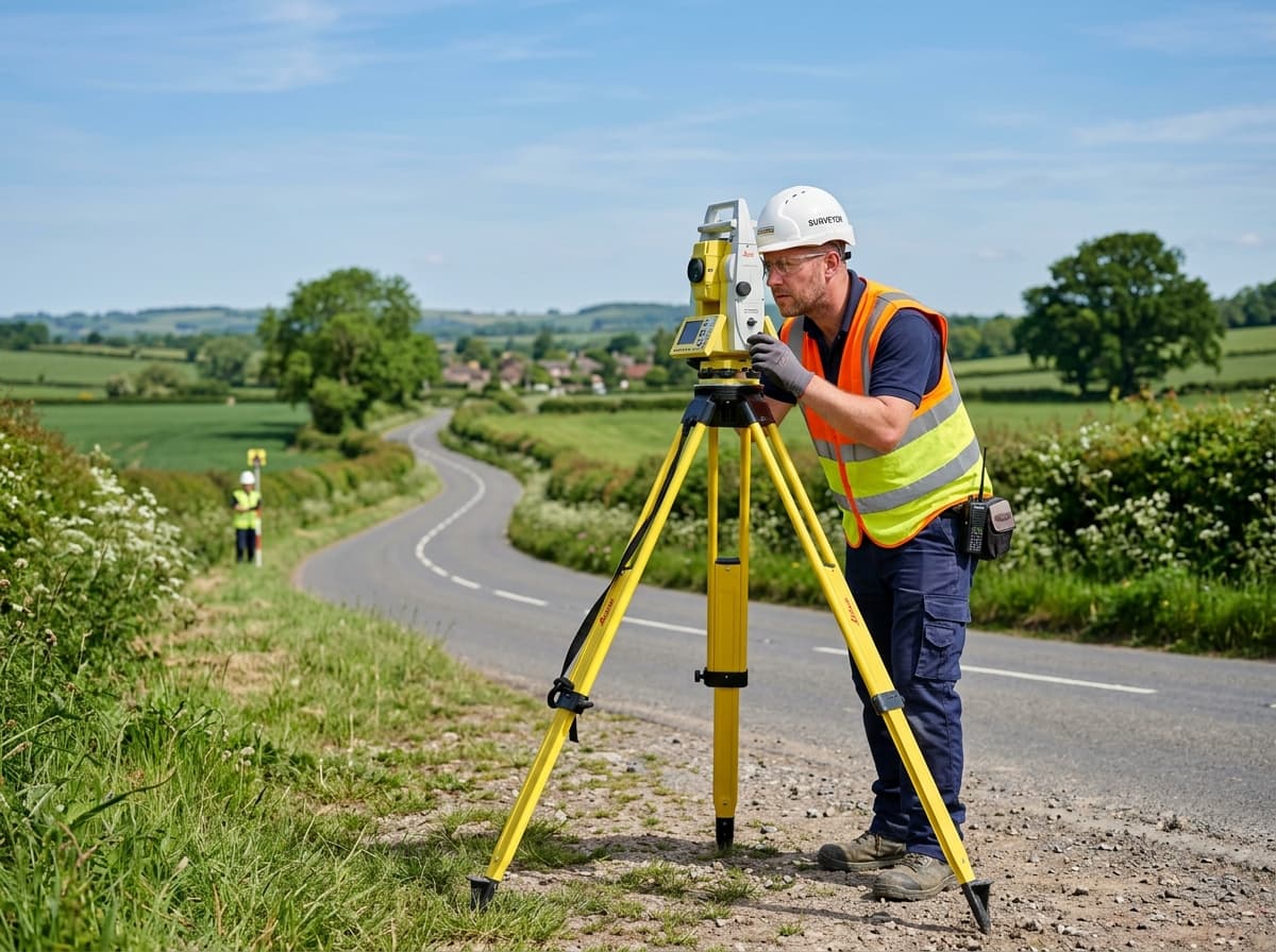
Surveying
Collect accurate field measurements and make on-site surveying faster and easier.
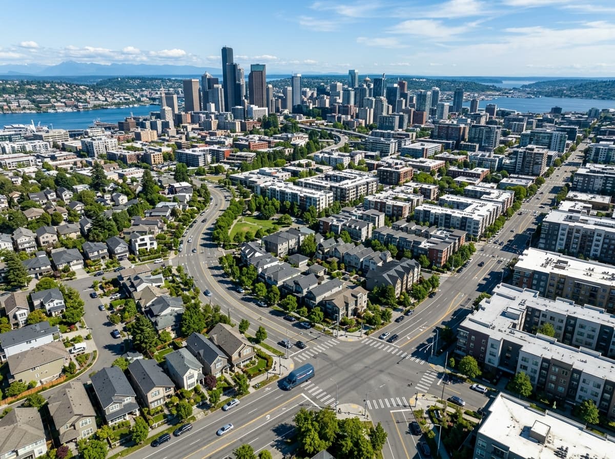
Logistics
Plan multi-stop routes, measure travel distances, and organise deliveries more effectively.
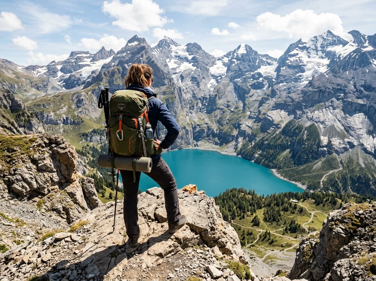
Travel & Outdoor Work
Record routes, save locations, capture GPS photos, and explore new places with confidence.
99.98%
Geodesic Accuracy
Karney WGS-84 ellipsoidal math
0.01 m²
Resolution Precision
Sub-meter boundary definition
180K+
Surveys Completed
Across 6 continents worldwide
48+
Browser Tools
Free, instant, and installation-free
Loved by Field Professionals
Read real experiences from surveyors, farmers, civil engineers, and foresters who rely on our tools daily.

David Chen
Realtor, Meridian Properties
Snapping vertices to property lines is a game changer for site walks. I send clients a branded PDF before I even leave the lot. It looks like I have a survey crew behind me.

María Gómez
Farm Manager, Verde Agro
We map crop blocks and irrigation runs straight from the tractor. What used to take an afternoon with a measuring wheel and a notebook now takes ten minutes - and our acreage is dead accurate.

Aaron Whitfield
Site Supervisor, Apex Construction
Daily earthwork progress reports used to be a spreadsheet nightmare. Now the whole crew measures on their phones and it syncs to one dashboard. Worth it for the offline tiles alone.

Marcus Vance
Agronomy Operations Manager
We manage over 14,000 acres of corn and soybeans. GeoTerra lets my field scouts snap boundary lines on cell phones with zero cellular signal. Saved us over $18,000 in custom applicator fees in our first season.

Elena Rostova
Licensed Cadastral Surveyor
The Karney ellipsoidal calculation algorithm is the real deal. Most web tools use spherical approximations that drift over large rural parcels. GeoTerra matches my total station closures down to the millimeter.
Frequently Asked Questions
Got questions about accuracy, offline usage, or file exports? We have clear answers.
Map the World, One Measurement at a Time.
No mandatory accounts. No bloated installers. Launch the full satellite workspace in your browser right now and calculate your land boundaries in seconds.